
The Earth is full of amazing natural features that make our world beautiful and unique. From high mountains to wide plains, every landform tells a story about nature and how our planet has changed over time. Learning about landforms helps students, teachers, and curious readers understand geography in a simple and interesting way. When we know the names and shapes of different landforms, it becomes easier to recognize them in real life, books, and maps. In this article, you will learn Landforms Names in English with Their Pictures, which will make learning more visual, clear, and enjoyable for everyone.
Table of Contents
ToggleMajor Landforms Names in English
- Mountain
- Hill
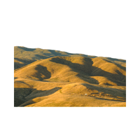
- Plateau
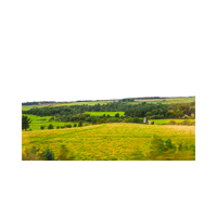
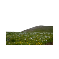
- Plain
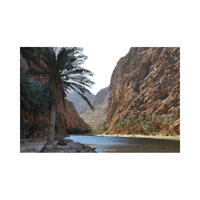
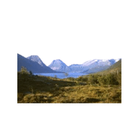
- Valley
- Canyon
- Gorge
- Cliff
- Ridge
- Peak
- Summit
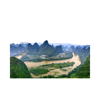
- Range
- Basin
- Depression
- Escarpment
- Butte
- Mesa
- Dune
- Desert
- Oasis
Landforms Pictures with Names and Types
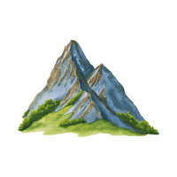
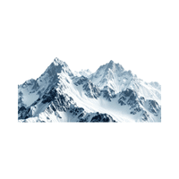
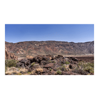
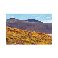
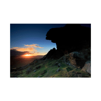
- Mountain
A very high area of land that rises steeply above the ground around it. Mountains are usually rocky and may have snow on their tops.

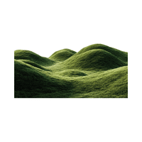
- Hill
A raised area of land that is lower and gentler than a mountain. Hills often have smooth slopes and are easier to climb.
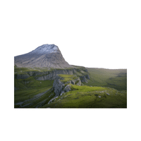
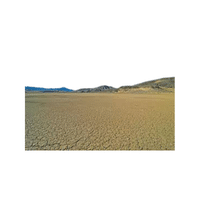
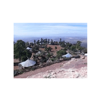
- Plateau
A large, flat area of land that is higher than the land around it. Plateaus usually have steep sides and a level top.
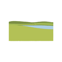
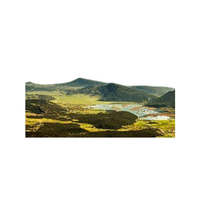
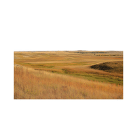
- Plain
A wide stretch of flat or gently rolling land. Plains are often used for farming because the soil is good and the land is easy to work on.
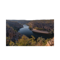
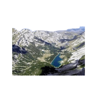
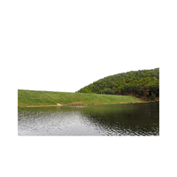
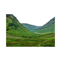
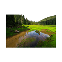
- Valley
A low area of land between hills or mountains. Many valleys have rivers flowing through them.
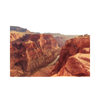
- Canyon
A deep valley with very steep sides, usually formed by a river cutting through rock over many years.
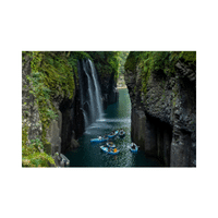
- Gorge
A narrow and deep valley with steep walls. It is often smaller than a canyon but just as steep.
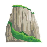
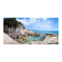
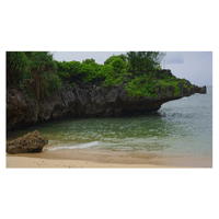
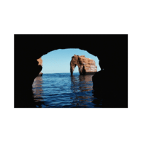
- Cliff
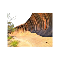
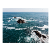
A very steep or vertical face of rock. Cliffs can be found near oceans, rivers, or mountains.
- Ridge
A long, narrow stretch of high land. A ridge often connects several peaks or hills.
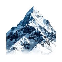
- Peak
The pointed top of a mountain or hill. It is usually the highest part.
- Summit
The highest point of a mountain. Reaching the summit often means reaching the very top.
- Range
A group of mountains or hills connected in a long line. Many famous mountains are part of ranges.
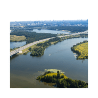
- Basin
A low area of land surrounded by higher land. Water often collects in basins.
- Depression
An area of land that is lower than the land around it. Some depressions are even below sea level.
- Escarpment
A long, steep slope or cliff that separates two levels of land. It often marks a change in land height.
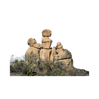
- Butte
A tall, isolated hill with steep sides and a flat top. It is smaller than a mesa.
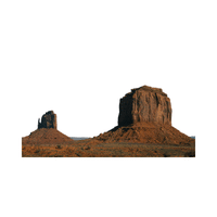
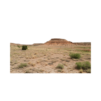
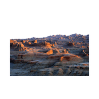
- Mesa
A large, flat-topped hill with steep sides. Mesas are common in dry regions.
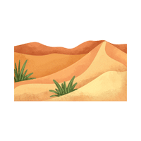
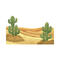
- Dune
A mound or ridge of sand formed by wind. Dunes are often found in deserts or near beaches.
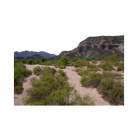
- Desert
A very dry area of land with little rainfall. Deserts may be hot or cold and have few plants.
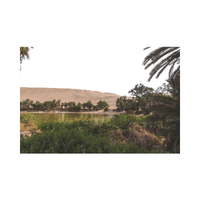
- Oasis
A fertile spot in a desert where water is found. Oases support plant life and human settlement.


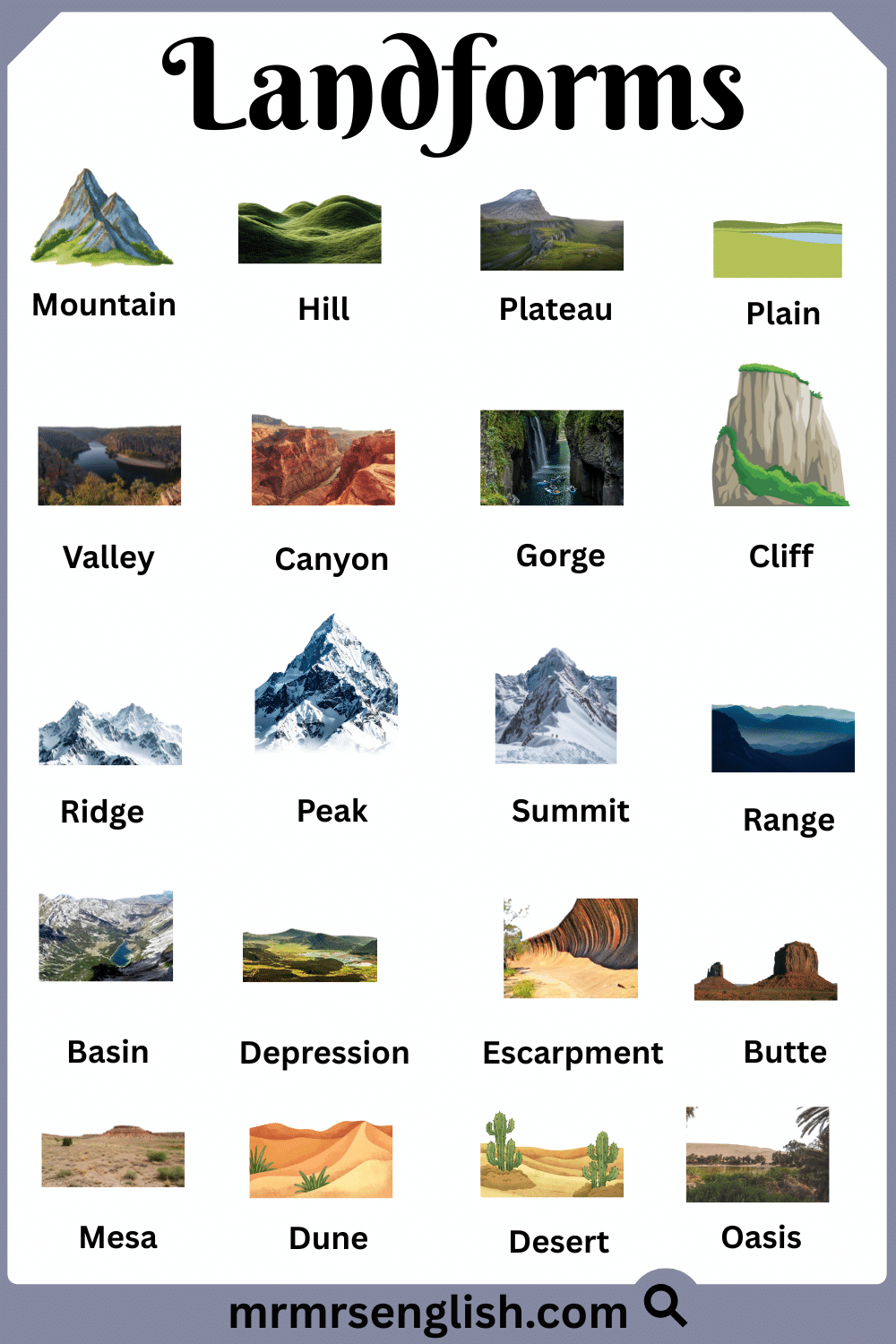
Landforms Pictures with Names and Types
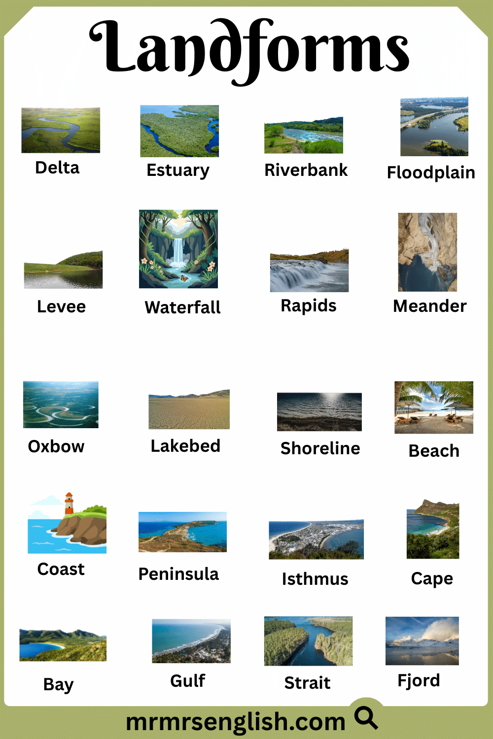
20 Names of Landforms in English
- Delta
- Estuary
- Riverbank
- Floodplain
- Levee
- Waterfall
- Rapids
- Meander
- Oxbow
- Lakebed
- Shoreline
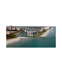
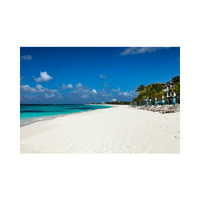
- Beach
- Coast
- Peninsula
- Isthmus
- Cape
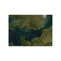
- Bay
- Gulf
- Strait
- Fjord
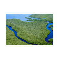
Different Types of Landforms with Pictures
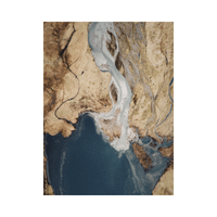
- Delta
A low, flat area of land formed where a river splits and spreads before entering the sea or a lake. Deltas are made from soil carried by the river.
- Estuary
A place where a river meets the sea and fresh water mixes with salty water. Many fish and birds live in estuaries.
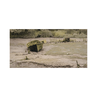
- Riverbank
The land along the sides of a river. It supports plants and helps keep the river from spreading too wide.
- Floodplain
Flat land beside a river that may be covered with water during heavy rain. Floodplains have rich soil good for farming.
- Levee
A raised bank of earth built along a river to stop water from flooding nearby land.
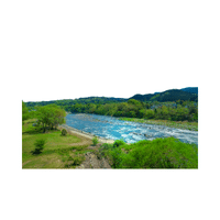
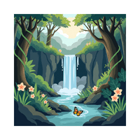
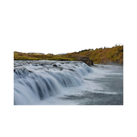
- Waterfall
A place where a river drops suddenly over a steep edge or rock. Waterfalls are formed by erosion.
- Rapids
Fast-moving, rough water in a river where rocks make the flow uneven.
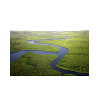
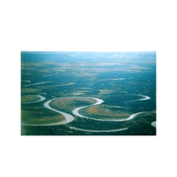
- Meander
A wide, winding bend in a river. Meanders form as water slowly wears away the riverbanks.
- Oxbow
A curved lake formed when a river bend gets cut off from the main river.
- Lakebed
The bottom surface of a lake. It may be covered with sand, mud, or rocks.
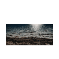
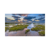
- Shoreline
The line where land meets a body of water such as a lake, river, or sea.
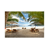
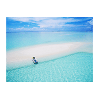
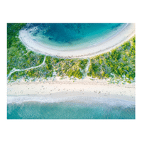
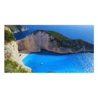
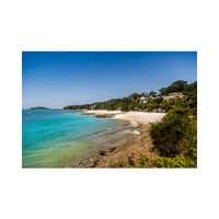
- Beach
A sandy or pebbly area along the edge of a sea, lake, or river shaped by waves.
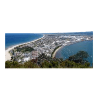
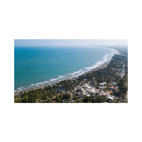
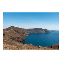
- Coast
The land that lies next to the sea or ocean. Coasts can be rocky, sandy, or flat.
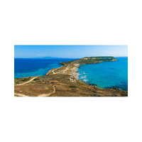
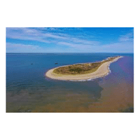
- Peninsula
A piece of land surrounded by water on three sides but connected to the mainland.
- Isthmus
A narrow strip of land that connects two larger land areas and has water on both sides.
- Cape
A pointed piece of land that sticks out into the sea.
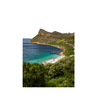
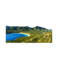
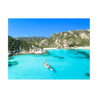
- Bay
A wide, curved area of water partly surrounded by land. Bays are often calm.
- Gulf
A large part of the sea that goes deep into the land. It is usually bigger than a bay.
- Strait
A narrow stretch of water that connects two larger bodies of water.
- Fjord
A long, narrow sea inlet with steep sides, formed by glaciers in cold regions.
Different Types of Landforms with Pictures
Learn Landforms Names in English
- Island
- Archipelago
- Reef
- Atoll
- Lagoon
- Sandbar
- Spit
- Tombolo
- Headland
- Cove
- Shelf
- Trench
- Seamount
- Volcano
- Crater
- Caldera
- Lavafield
- Glacier
- Icecap
- Iceberg
Common Landforms with Names and Images
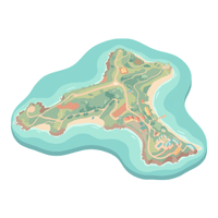
- Island
A piece of land completely surrounded by water. Islands can be small or large and may be found in oceans, seas, or lakes.
- Archipelago
A group or chain of many islands located close to each other in the same area of water.
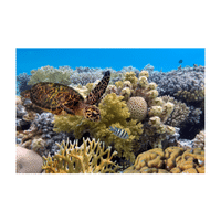
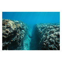
- Reef
A raised area of rock or coral just below or above the sea surface. Reefs protect coastlines and support sea life.
- Atoll
A ring-shaped coral island that surrounds a central lagoon. Atolls usually form in warm ocean waters.
- Lagoon
A shallow body of water separated from the sea by sand, coral, or land. The water is usually calm.
- Sandbar
A long, narrow buildup of sand formed by water currents. It may appear or disappear with changing water levels.
- Spit
A narrow stretch of sand or land that extends into the sea from the coast, shaped by waves and wind.
- Tombolo
A strip of land or sand that connects an island to the mainland or another island.
- Headland
A high area of land that sticks out into the sea. Headlands are often rocky and face strong waves.
- Cove
A small, sheltered bay with calm water. Coves are often protected by surrounding land.
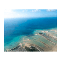
- Shelf
A gently sloping underwater land area near a continent. It is shallow compared to the deep ocean.
- Trench
A very deep and narrow valley on the ocean floor. Trenches are the deepest parts of the sea.
- Seamount
An underwater mountain rising from the ocean floor but not reaching the surface.
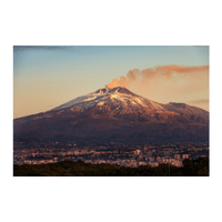
- Volcano
An opening in the Earth’s surface where melted rock, ash, and gases come out. Volcanoes can be active or inactive.
- Crater
A bowl-shaped opening at the top of a volcano. It is formed by explosions or collapsed rock.
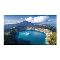
- Caldera
A large hollow formed when a volcano collapses after a major eruption.
- Lavafield
A wide area covered with hardened lava after volcanic eruptions.
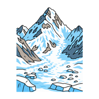
- Glacier
A huge, slow-moving mass of ice formed from packed snow over many years.
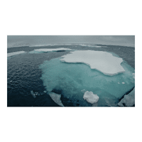
- Icecap
A thick layer of ice covering a large land area, usually found in very cold regions.
- Iceberg
A large piece of ice that breaks off from a glacier and floats in the sea.
Common Landforms with Names and Images
Types of Landform in English
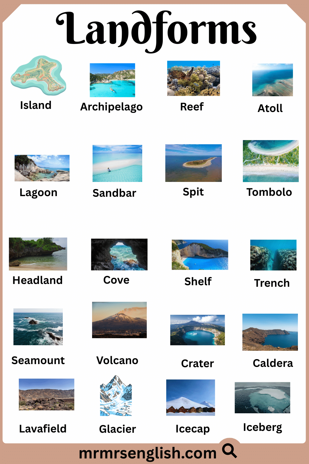
- Moraine
- Cirque
- Arete
- Tundra
- Prairie
- Savanna
- Grassland
- Wetland
- Marsh
- Swamp
- Bog
- Steppe
- Badlands
- Foothills
- Highlands
- Lowlands
- Upland
- Tableland
- Karst
- Sinkhole
List of Landforms with Names and Images
- Moraine
A pile of rocks, soil, and sand left behind by a moving glacier. It shows where the glacier once traveled.
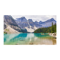
- Cirque
A bowl-shaped hollow on a mountainside formed by glacier movement. It often holds snow or a small lake.
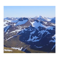
- Arete
A sharp, narrow ridge formed between two glaciers. It looks like a thin, rocky spine.
- Tundra
A cold, treeless land with frozen ground below the surface. Only small plants can grow there.
- Prairie
A wide, flat grass-covered land with few trees. Prairies are often used for farming.
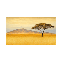
- Savanna
A warm grassland with scattered trees. It has wet and dry seasons.
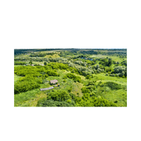
- Grassland
A large open area where grasses grow more than trees. Many animals live in grasslands.
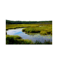
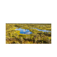
- Wetland
Land that stays wet or flooded for part of the year. Wetlands help clean water and support wildlife.
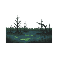
- Marsh
A wet area covered with soft plants like reeds and grasses. It often forms near rivers or lakes.
- Swamp
A wet land with trees and standing water. Swamps are rich in plant and animal life.
- Bog
A wet, muddy land with moss and little drainage. Bogs often have acidic water.
- Steppe
A dry, grassy plain with few trees. It receives little rainfall.
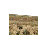
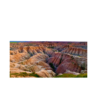
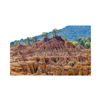
- Badlands
Dry land with rough shapes, deep cuts, and little plant life. It is formed by erosion.
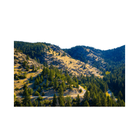
- Foothills
Low hills found at the base of a mountain range. They are higher than plains but lower than mountains.
- Highlands
Elevated land with hills and mountains. The climate is often cooler.
- Lowlands
Low-lying flat land near sea level. Lowlands are often fertile.
- Upland
Raised land higher than nearby areas but not very high. It may have rolling hills.
- Tableland
A flat, elevated area with steep sides. It looks like a table on top.
- Karst
A land area shaped by dissolving rock, often with caves and underground rivers.
- Sinkhole
A hole in the ground formed when the land surface collapses due to underground erosion.
List of Landforms with Names and Images
Popular Landform Name in English
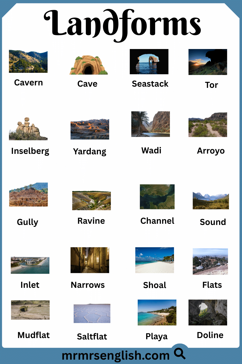
- Cavern
- Cave
- Seastack
- Tor
- Inselberg
- Yardang
- Wadi
- Arroyo
- Gully
- Ravine
- Channel
- Sound
- Inlet
- Narrows
- Shoal
- Flats
- Mudflat
- Saltflat
- Playa
- Doline
Most Common Landforms Names with Pictures
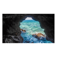
- Cavern
A very large underground space formed naturally in rock. Caverns often have high ceilings and wide chambers.
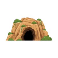
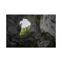
- Cave
A natural hollow in the ground or rock. Caves can be small or large and may hold water or air.
- Seastack
A tall pillar of rock standing alone in the sea near a coast. It forms when waves wear away the land around it.
- Tor
A high, rocky hilltop with exposed stone. Tors are shaped by weather and erosion.
- Inselberg
An isolated hill or mountain rising from flat land. It stands alone and is often rocky.
- Yardang
A long, narrow ridge shaped by strong wind erosion in dry regions.
- Wadi
A dry riverbed found in desert areas. It fills with water only after heavy rain.
- Arroyo
A small, steep-sided stream channel that stays dry most of the time.
- Gully
A deep channel formed by flowing water after heavy rain. Gullies grow wider over time.
- Ravine
A narrow, deep valley with steep sides. It is often formed by running water.
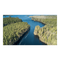
- Channel
A path through which water flows, such as in a river or sea. It guides water movement.
- Sound
A wide body of water between land areas or between an island and the mainland.
- Inlet
A narrow opening of water reaching into the land from a larger water body.
- Narrows
A tight, narrow section of a river or waterway where land comes close together.
- Shoal
A shallow area of water near the shore. Shoals can be dangerous for boats.
- Flats
Low, flat land near water that may flood during high tides.
- Mudflat
A soft, muddy area left uncovered when the tide goes out. Many small creatures live there.
- Saltflat
A flat land covered with salt left behind after water dries up.
- Playa
A dry lakebed in a desert that may fill with water after rain.
- Doline
A natural hollow in the ground formed by the collapse or erosion of limestone rock.


Most Common Landforms Names with Pictures

Leave a Comment